
OUR SERVICES
Surveying
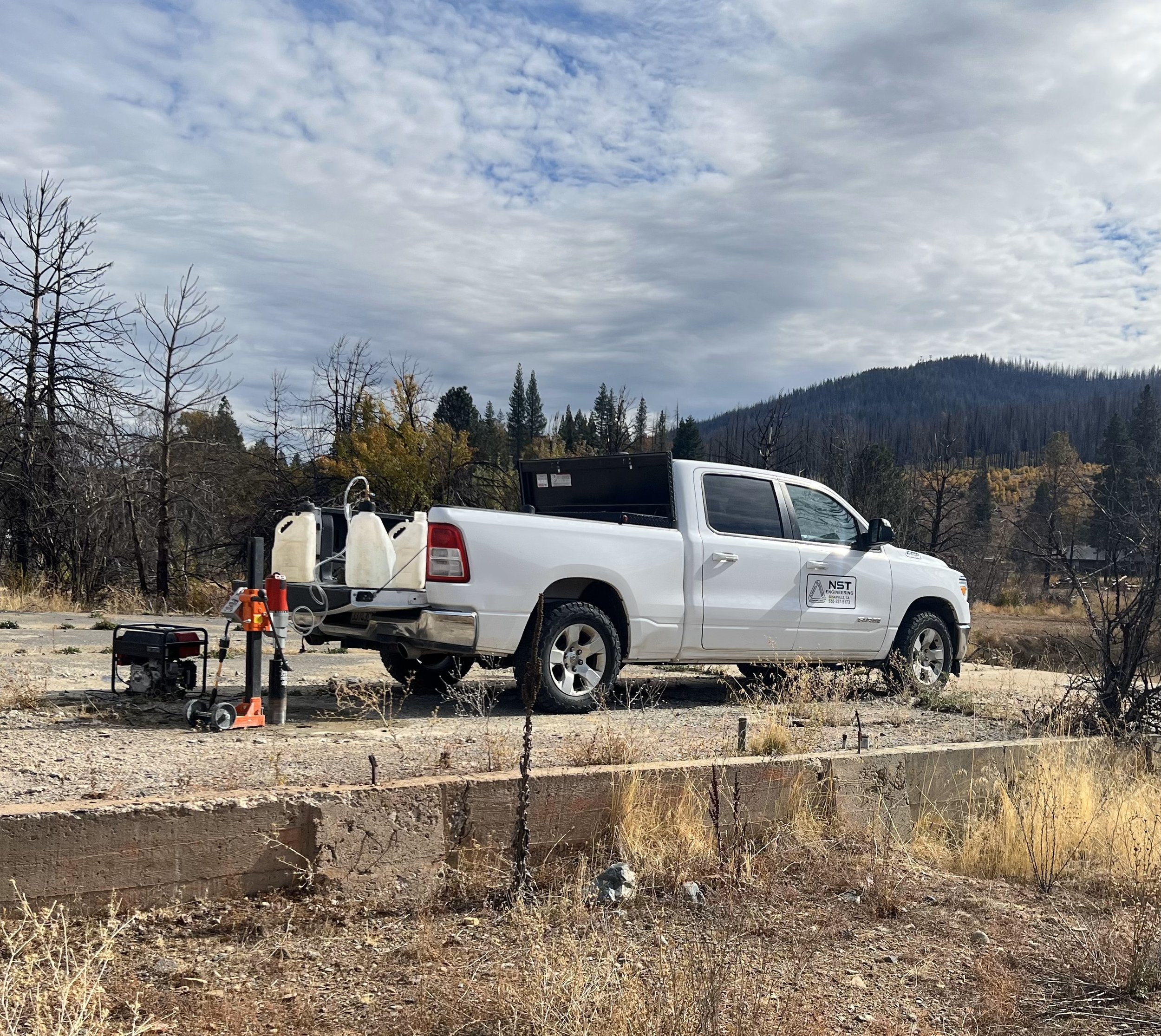
Surveying services involve measuring and mapping land to determine property boundaries, topography, and existing conditions for construction and development projects. These services provide critical data that informs design, planning, and regulatory compliance while ensuring accuracy and precision in land use.
SERVICES INCLUDE
– OFFERED IN CALIFORNIA ONLY –
Boundary & Property Surveys
Topographic Surveys
Construction Staking & Layout
ALTA/NSPS Land Title Surveys
Site Development Survey
Geodetic & GPS Surveys
FEMA Elevation Certificates and LOMA
As-built Surveys
Easement & Right-of-Way Surveys
Land Use & Zoning Analysis
Monitoring & Deformation Surveys
SURVEYING
Frequently Asked Questions
-
Land surveying is the process of measuring and mapping land to determine property boundaries, elevations, and site conditions. It’s essential for construction, permitting, and land development, ensuring projects comply with regulations and avoid boundary disputes.
-
You may need a land survey when purchasing property, preparing for new construction, planning a land subdivision, resolving boundary disputes, or ensuring compliance with zoning and permitting requirements.
-
Yes, a land survey ensures your project complies with property boundaries, zoning regulations, and site conditions. It also provides critical data for foundation design, drainage planning, and utility placement.
-
We offer boundary surveys, topographic surveys, construction staking, ALTA/NSPS surveys, and more. Whether you’re buying land, subdividing property, or starting construction, we deliver precise measurements you can trust.
-
The timeline depends on the size and complexity of the property. A small residential lot might take a few days, while larger or rugged terrain in the surrounding counties could take longer. Contact us for a specific estimate!